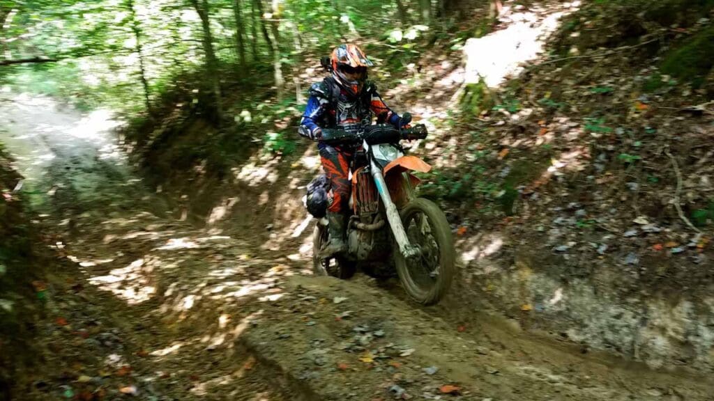
Turning onto Mountain Springs (Furnace-Pilot Road), the route changes from asphalt to gravel, then trail. Quickly the route passes through a homestead with an equine themed swinging gate. This gate has been court-ordered to remain open. Anyone traversing this section and any section of the DBBB can rest assured, if they are using the official CartoTracks map of the DBBB (CartoTracks.com), it is 100% county road and open to the public. Users are advised to proceed past this homestead on the route and prepare for some of the most difficult yet scenic sections on the DBBB. Once you pass the homestead outbuildings and a large cabin within eyesight, users will find a very rutted, wet, hilly, muddy section of the county road. This section will challenge most vehicles of any level of build and will likely require winching in most seasons. Ultimately, the supporters of the DBBB will improve this section to a more sustainable level but since the road is embroiled in a lawsuit, no improvements can be made until resolved. Upon completion of this muddiest of sections, the route passes an iconic, photogenic house in disrepair from many decades ago. As the trail rolls through beautiful forest, the terrain becomes sandy and gains the top of a ridge and eventually daylights to the asphalt of KY 1639 AKA South Fork.