KNOW WHERE YOU ARE GOING
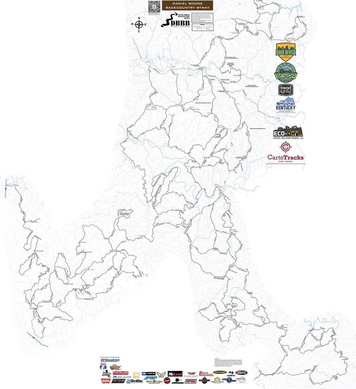
The best way to enjoy the byway is to know where your going. We recommend buying and downloading the CartoTracks map to your phone.

The DBBB has partnered with the mapping experts at CartoTracks to provide an accurate and up-to-date map of our complete trail system. While you may come across other map files in the public domain they unfortunately will cause you to trespass on to private and/or Forest Service property. Enjoy the Byway while respecting landowners by using the only official map from CartoTracks.


