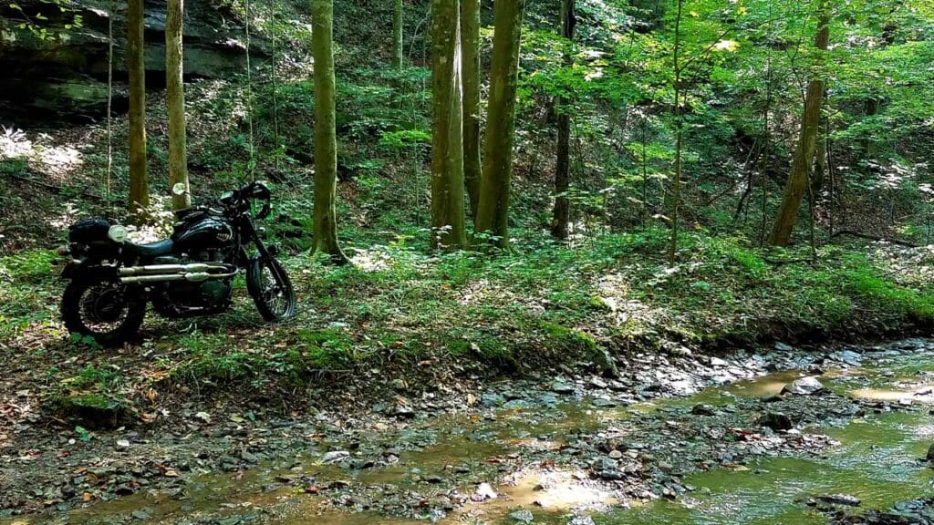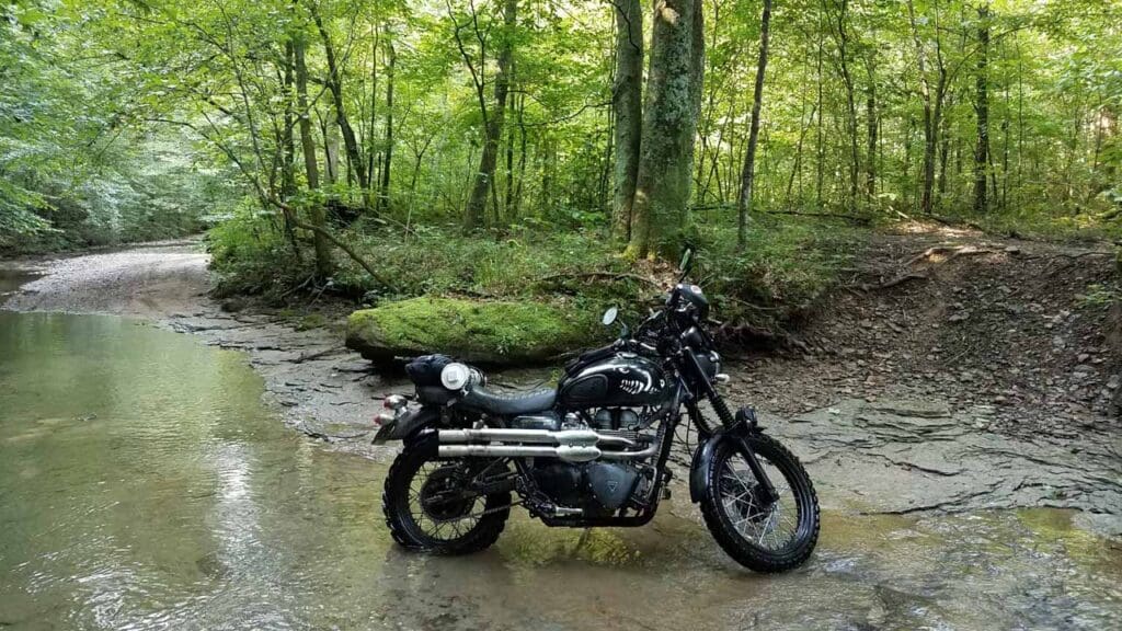
Spaas Creek Road road follows along Spaas Creek with many stream crossings. The road crosses USFS managed land so stay exactly on the trail! Users have created many “braids” but the middle route is always hard-bottomed so do not avoid the mud puddles, just stay on the trail without creating more “braids”.
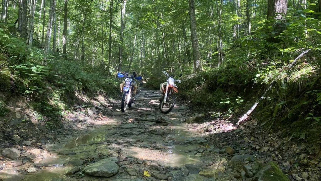
Exiting the Spaas Creek drainage, the DBBB tops out on gravel surfaces and weaves through the cliff lines until reaching asphalt. Heading west once again, the route turns south onto a single lane bridge and into an area with homesteads tightly packed. Passing an old barn closely, the DBBB begins its climb up to the top of the ridge on Punkin Hollow Road.